
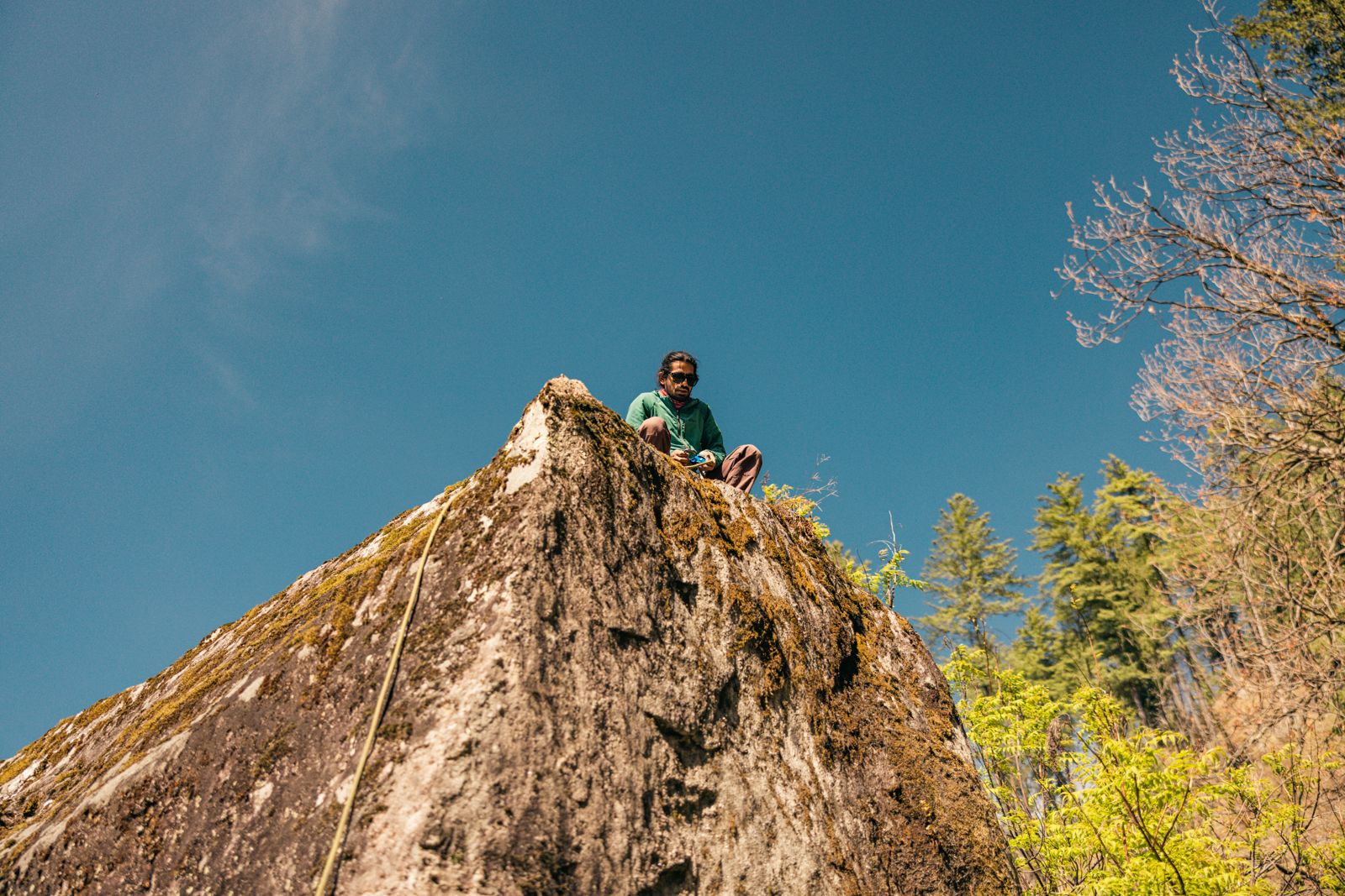
Dhumdhar Kandi Pass Trek
A 5,490 m pass from the Tons to the Bhagirathi valley
Dhumdhar Kandi Pass Trek, Uttarakhand
Dhumdhar Kandi Pass is one of the most remote and demanding mountain crossings in the Garhwal Himalayas. The route goes through the Har Ki Dun and Ruinsara valleys, past glaciers, alpine meadows and high peaks, then over a high pass into the Bhagirathi Valley.
At approximately 5,490 m / 18,012 ft, Dhumdhar Kandi Pass is a historic route between the Tons and Bhagirathi river valleys. Local shepherds and travellers once used it to move between these remote areas. Today it is a hard crossing for experienced trekkers and climbers.
The route goes from the forest trails above Sankri to the turquoise water of Ruinsara Lake, past Swargarohini and Black Peak, and over the pass itself.
This is a serious high-altitude expedition. You need physical fitness, previous mountain experience, careful acclimatisation and the support of a qualified expedition team.
- Trek Name
- Dhumdhar Kandi Pass Trek
- Duration
- 12 Days
- Location
- Garhwal Himalayas, Uttarakhand, India
- Starting Point
- Sankri
- Ending Point
- Jhala (Harshil Valley), followed by a drive to Gangnani and Dehradun
- Maximum Altitude
- Approx. 5,490 m / 18,012 ft
- Difficulty
- Challenging to Very Difficult
- Adventure Type
- High-altitude trekking and mountaineering
- Trail Type
- High-pass crossing between the Tons and Bhagirathi valleys
- Best Season
- Pre-monsoon and post-monsoon windows, subject to conditions
- Suggested Months
- May–June and September, subject to snow, weather and route conditions
- Accommodation
- Guesthouse in Sankri; camping along the trail; final overnight arrangements as per itinerary
- Nearest Airport
- Jolly Grant Airport, Dehradun
- Nearest Railway Station
- Dehradun
Why cross Dhumdhar Kandi Pass
Dhumdhar Kandi is for people who want to leave the established trekking trails for the harder, less-travelled routes of the Garhwal Himalayas. It combines remote valleys, big mountain scenery, high-altitude terrain and a historic Himalayan pass to cross.
Why you'll love it
A historic Himalayan crossing
Follow the traditional route between the Tons Valley and the Bhagirathi Valley, once used by local travellers and shepherds.
Ruinsara Valley
The approach from Sankri goes through forest, remote campsites and alpine country.
Views of the big peaks
See Swargarohini, Black Peak (Kalanag) and the Bandarpoonch massif, depending on visibility.
Ruinsara Lake
Spend time beside a high-altitude lake ringed by rugged mountains.
Remote alpine camps
Camp in the wilderness at places such as Dharo Ki Odari and the high camps below the pass.
A demanding high-pass crossing
Take on steep snow slopes, exposed terrain and potential glacier hazards under the guidance of an experienced expedition team.
Between two river valleys
Cross the watershed between the Tons and Bhagirathi systems and see how the country changes from one side to the other.
Along the route
1. Ruinsara Lake
Ruinsara Lake sits in the rugged upper Tons Valley and is one of the most memorable stops on the way to Dhumdhar Kandi. With mountain slopes and alpine terrain all round, it is a quiet place to rest, explore and acclimatise before the higher camps.
The lake and its valley look very different from the dense forest and river trails lower down.
2. Swargarohini and Black Peak
The upper Ruinsara Valley leads towards Swargarohini and Black Peak, also known as Kalanag. These peaks dominate the skyline.
As the route climbs, forest and meadow give way to rock, snowfields and glaciers.
3. Dharo Ki Odari
Dharo Ki Odari is a remote high-altitude campsite on the way to Dhumdhar Kandi Pass. The ground gets rougher here, with exposed slopes and ridges, and this is where the trek turns into an expedition.
This section needs careful pacing, attention to acclimatisation and close coordination with the expedition team.
4. Dhumdhar Kandi Pass
The main challenge of the expedition is crossing Dhumdhar Kandi Pass at approximately 5,490 m / 18,012 ft. Depending on conditions, the route may involve steep snow slopes, glacier or crevasse hazards, and sections that need technical equipment and rope protection.
An early start, suitable mountaineering skills and sound judgement are essential. Reaching the pass is a big achievement, but the descent needs just as much care.
5. Gantrara and the descent into the Bhagirathi Valley
After the pass, the route drops to Gantrara and on through remote mountain terrain. As you leave the glaciers behind, meadows, streams and forest return.
This descent takes you from one Himalayan valley into a very different one.
6. Remote mountain camps
The campsites on this expedition are far from villages and busy trekking routes, from the forest of the lower valley to the bare ground of the high camps.
Camping in these remote places requires careful waste management, respect for local ecosystems and a strong commitment to Leave No Trace principles.
Day by day
Day 1Dehradun to Sankri
Drive from Dehradun to Sankri, the starting point for the Har Ki Dun and Ruinsara valleys. The road winds through the foothills and mountain villages into the Western Garhwal Himalayas.
In Sankri, check into your accommodation and meet the expedition team. Use the evening to check your equipment, attend the first briefing and get ready for the days ahead.
Day 2Sankri to Seema via Taluka
Drive from Sankri to Taluka and start the trek to Seema. The trail follows the valley through forested slopes, along the river and past traditional mountain villages.
With the river beside you and forest all around, it is a quiet first day in the Tons Valley. Continue to Seema, settle in for the night and get ready for the climb ahead.
Day 3Seema to Devsu Thatch
Continue from Seema into the upper valley. The trail climbs gradually through forest and then more open mountain ground.
The villages fall behind and the country gets wilder. Reach camp, depending on the final route plan, and rest after the day's walk.
Day 4Devsu Thatch to Ruinsara Lake
Today's trek goes further into the Ruinsara Valley. The trail passes through changing vegetation, river sections and open ground, and the peaks around you get closer.
Arrive at Ruinsara Lake, a high-altitude lake surrounded by rugged mountains. Settle into camp and enjoy the quiet of the upper valley.
Day 5Rest day at Ruinsara Lake — acclimatisation
Spend the day around Ruinsara Lake and let your body adapt before moving to the higher camps. Depending on weather, how the group is doing and the guide's assessment, take a gentle walk nearby or rest at camp.
Your expedition leader will go over the route ahead, equipment requirements and mountain safety procedures. This day is especially important before entering harder terrain.
Day 6Ruinsara Lake to Kyarkoti
Leave Ruinsara Lake and continue towards the upper valley and the base-camp area below Black Peak and Swargarohini. The trail gets more remote, the views open up and there are fewer signs of people.
The day's route and campsite will depend on the final expedition plan, access and conditions. Arrive at camp, rest and prepare for the climb to Dharo Ki Odari.
Day 7Kyarkoti to Dharo Ki Odari
Today the route climbs to Dharo Ki Odari over more exposed, rougher ground. Forest and meadow give way to rocky slopes, boulder fields and high mountain terrain.
With the height you are gaining, keep a steady pace and watch how your body responds. Your expedition team will assess conditions and prepare the group for the next stage.
Arrive at camp, eat well, drink plenty and rest.
Day 8Dharo Ki Odari to Black Peak Camp 2
Continue to Black Peak Camp 2 on the route chosen by your expedition leader. Depending on conditions, the trail may include steep climbs, loose rock, snow-covered ground and other difficult sections.
This is a key preparation day before the pass crossing. The team will review the route, assess snow and weather conditions, check technical equipment and discuss the next day's plan.
The exact altitude and location of Camp 2 should be confirmed with the expedition operator before departure.
Day 9Cross Dhumdhar Kandi Pass — Descend to Gantrara
Start early for the hardest day of the expedition. Climb towards Dhumdhar Kandi Pass through high-altitude terrain, where snow conditions, steep slopes and potential glacier hazards may require technical equipment and rope protection.
Reaching the pass is a big moment, and when visibility is good you can see far across the Garhwal Himalayas. Time at the pass may be limited by weather and safety.
After crossing, descend towards Gantrara. The descent can be strenuous and exposed, so move carefully and stay in close contact with your expedition team.
This is a long and serious mountain day. The crossing should go ahead only when the expedition leader judges the conditions safe.
Day 10Gantrara to Dorangatt
Descend from Gantrara to Dorangatt, leaving the high mountains behind. The country opens into meadows and forest, a welcome change after the pass.
Follow the valley down as the vegetation changes and the greener hills return. Arrive at Dorangatt and set up camp for the night.
Day 11Dorangatt to Jhala — Drive to Gangnani
Keep descending along the trail to Jhala, through forest, across streams and down the valley to the roadhead.
At Jhala, meet your vehicle and drive to Gangnani. After days in the wilderness, you get a comfortable night and time to recover before the drive back.
Day 12Gangnani to Dehradun
After breakfast, drive from Gangnani down to Dehradun.
Plan onward train or flight connections with plenty of buffer time, as mountain roads can be affected by weather, traffic and road conditions.
The expedition ends in Dehradun.
Important expedition information
Route details, altitude, campsite locations and trekking times are approximate. The exact crossing window depends on snow and glacier conditions, weather, route access and local permissions.
Experience required: This is a challenging high-altitude expedition and is not suitable for beginners. Participants should have previous high-altitude trekking experience, excellent fitness and the technical skills required for the confirmed route.
Technical terrain: Snow slopes, glacier travel, crevasse hazards, rope protection and other mountaineering techniques may be required. The final equipment and skill requirements must be confirmed by the expedition operator.
Acclimatisation: The itinerary includes a rest day at Ruinsara Lake, but additional acclimatisation may be required depending on individual response and conditions.
Weather and route conditions: The pass can become unsafe due to snow, unstable weather, rockfall, avalanche risk or glacier conditions. The itinerary may change, and crossing the pass cannot be guaranteed.
Permits and local permissions: All applicable forest, wildlife and route permissions must be confirmed before the expedition begins.
Camping and supplies: Confirm the accommodation plan, meals, group equipment, personal porter arrangements and technical gear with the operator before booking.
Emergency planning: The expedition team should have a suitable communication plan, first-aid capability, emergency procedures and an evacuation strategy for remote terrain.
Leave No Trace: Carry all waste out, respect local communities and avoid disturbing wildlife or fragile alpine ecosystems.
Best time to do the Dhumdhar Kandi Pass Trek
Dhumdhar Kandi Pass is usually attempted in carefully chosen pre-monsoon and post-monsoon windows, often around May–June and Oct. The exact timing depends on snowpack, crevasse conditions, weather, access and the judgement of an experienced expedition leader.
Do not treat the route as a fixed-season trek. The monsoon makes it far more hazardous, and early- and late-season snow and ice can make the crossing more technical. Confirm the departure window and the current route assessment with the local expedition team.
Ready to cross Dhumdhar Kandi Pass?
The route runs from the forests and rivers of the Tons Valley to the high camps below Black Peak and over Dhumdhar Kandi. It is for people prepared to take on the mountains with skill, patience and respect.
Have questions about experience requirements, technical gear, permits or departure dates? Talk to The Nest expedition team before planning your Dhumdhar Kandi Pass crossing.
Book your expeditionYou might also like
 Expedition
Black Peak Expedition
A 6,387 m climb above the Har Ki Dun valley
 Expedition
Mt. UT Kangri Peak Expedition
A first 6,000-metre summit in Ladakh
 Expedition
Dzo Jongo East Expedition
A quiet 6,240 m peak in Ladakh’s Markha Valley