
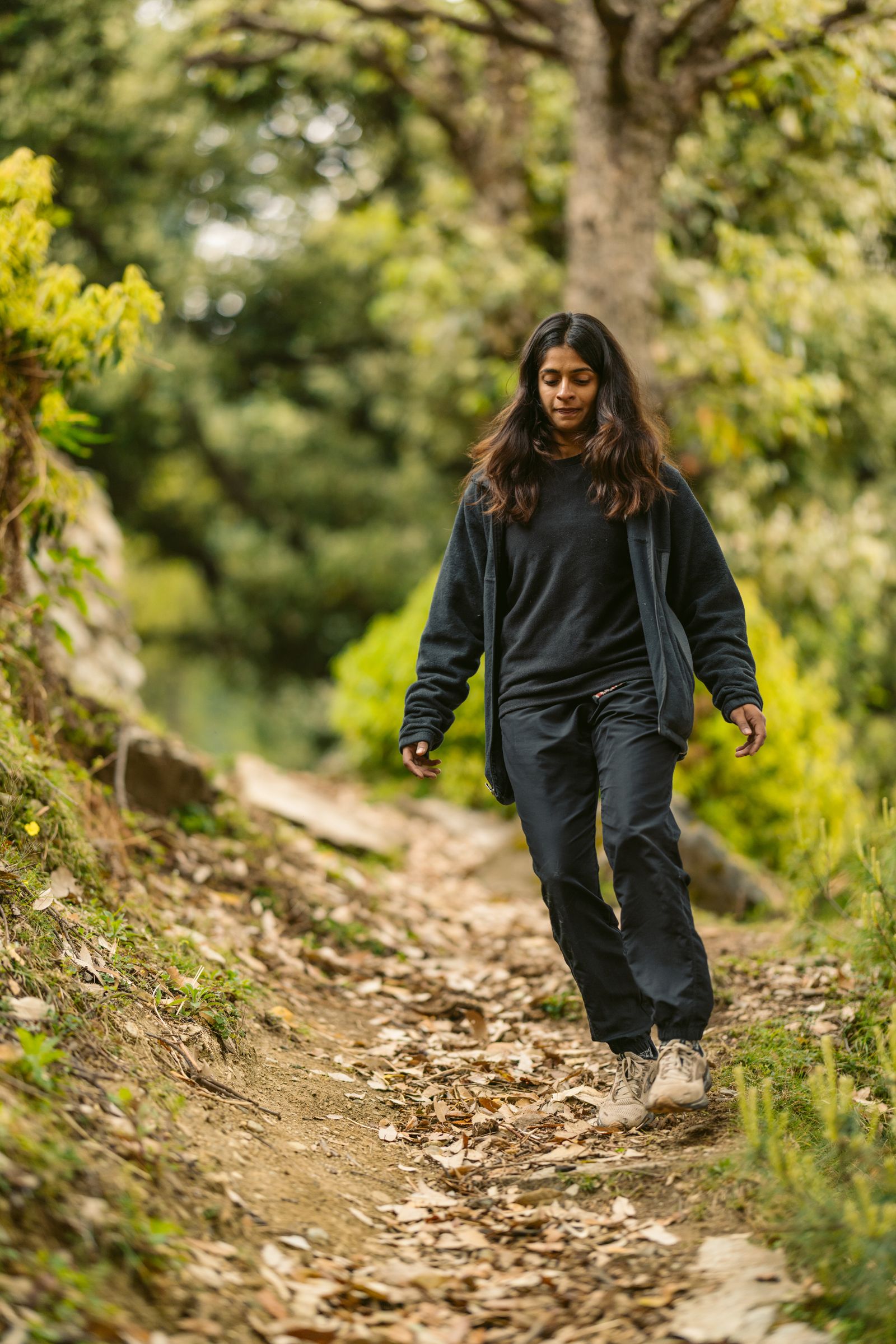
Pin Bhaba Pass Trek
A crossover from green Kinnaur to the cold desert of Spiti
Pin Bhaba Pass Trek, Himachal Pradesh
Pin Bhaba Pass is a crossover trek in Himachal Pradesh. It starts in the green Bhaba Valley of Kinnaur and ends in the high, dry Pin Valley of Spiti.
The trek goes up to 16,100 ft. On the way there are remote campsites, glacier-fed streams, alpine meadows and wide Himalayan views.
The two sides of the pass look very different. On the Kinnaur side you walk through thick forest and green meadows, past waterfalls and along the Bhaba River. Over the pass the land turns into the bare, rugged mountains of Spiti.
The people change too. Kinnaur and Spiti each have their own traditions, architecture and way of life.
- Maximum Altitude
- 16,100 ft
- Duration
- 8 Days
- Distance
- Approx. 51 km
- Difficulty
- Moderate to Difficult
- Starting Point
- Kafnu, Himachal Pradesh
- Ending Point
- Mudh (trek) / Manali
- Region
- Kinnaur and Spiti, Himachal Pradesh
- Highest Point
- Pin Bhaba Pass — 16,100 ft
- Best Season
- July, August & September (monsoon)
- Trail Type
- Crossover trek, from the Bhaba Valley to the Pin Valley
- Trip Type
- High-Altitude Trekking
- Stay
- Camping on twin-sharing; hotel/guesthouse on triple or quad-sharing; separate arrangements for male and female participants
- Meals
- Vegetarian meals and eggs during the trek and at the Kafnu guesthouse
- Nearest Railway Station
- Kalka
- Nearest Airport
- Jubbarhatti Airport, Shimla (approx. 22 km from Shimla)
The Pin Bhaba Pass trek
The trek starts at Kafnu and follows the Bhaba River through pine, oak and cedar forest, with waterfalls, wooden bridges and mountain streams along the way.
You camp at Mulling, a green meadow beside the river, and at Kara, an open alpine meadow with wildflowers. Kara is also where you rest for a day to acclimatise.
Above Kara the ground turns to rock, scree, glacial streams and snow patches around Phutsirang, the last camp before the pass.
From Pin Bhaba Pass you see snow-covered ridges, glacial slopes and both valleys. The descent takes you into Spiti and ends at Mudh, a village with red mountains and traditional Tibetan-style houses.
Why you'll love it
Two valleys in one trek
Go from the green forests and meadows of Kinnaur to the cold-desert mountains of Spiti.
Forest trails along the Bhaba River
Pine, oak and cedar forest, with waterfalls, wooden bridges and mountain streams.
Mulling campsite
A green meadow beside the river, with forest and tall peaks around it.
Kara meadows
Wide alpine meadows with wildflowers and mountain views, and a good place to acclimatise.
Phutsirang glacier area
Rocky slopes, glacial streams, snow patches and rough high ground.
Crossing Pin Bhaba Pass
The hardest part of the trek, at 16,100 ft. From the top you see the green Bhaba Valley on one side and bare Spiti on the other.
Mudh village and Pin Valley
The trek ends at Mudh, with red mountains, traditional Tibetan-style houses and cold-desert country.
Wildlife and flowers
You may see blue sheep, Himalayan marmots, red foxes, high-altitude birds and alpine wildflowers.
Kinnaur and Spiti
Two regions with different traditions, architecture and ways of life, from Himalayan villages to Tibetan Buddhist settlements.
Buffer day
Keep one buffer day after the trek. It is mandatory, in case of bad weather, a delayed pass crossing or unexpected trail conditions.
If the buffer day is used, there is an extra charge of ₹2,500 + 5% GST per person, paid directly to the trek leader.
Day by day
Day 1Shimla → Kafnu
Drive from Shimla to Kafnu, the base village for the trek.
Check into the guesthouse, meet the trek team and get ready for the trek.
Day 2Kafnu → Mulling
Start walking beside the Bhaba River through thick pine, oak and birch forest.
The trail climbs slowly through the forest to the riverside campsite at Mulling.
Day 3Mulling → Kara
Carry on over rocky trails and open mountain country.
There is a steep climb near the end.
Reach Kara, an alpine meadow with rolling green slopes around it.
Day 4Acclimatisation at Kara
A rest day to get used to the altitude.
Walk around the meadows, and visit Kara Lake if the weather and trail allow.
Day 5Kara → Phutsirang
Climb over rocky ground and loose scree as the country gets rougher.
Reach Phutsirang, the last campsite before Pin Bhaba Pass.
Day 6Phutsirang → Pin Bhaba Pass → Bwaldar — pass day
Start early for the hard climb to Pin Bhaba Pass at 16,100 ft.
From the pass you can see both valleys.
Descend into the rugged cold-desert country of Spiti to reach Bwaldar.
Day 7Bwaldar → Mudh → Kaza
Walk through the rocky Pin Valley to Mudh village.
From Mudh, drive to Kaza and check in. The crossover is done.
Day 8Kaza → Manali
Drive from Kaza to Manali through Spiti and the valleys beyond.
Trip ends in Manali.
What's included
Included
- Accommodation as per itinerary
- Camping accommodation during the trek
- Trek meals as per the planned itinerary
- Experienced trek leader and local mountain guide
- Cook and support staff
- Tents on twin-sharing basis
- Sleeping bags and sleeping mats
- Forest permits and camping charges
- First-aid and basic safety equipment
- Common camping and trekking equipment
- Transport between Kafnu and the trek starting/ending points as mentioned in the itinerary
- Applicable taxes and service charges
Not included
- Personal trekking gear and clothing
- Personal expenses
- Travel and medical insurance
- Porter service for personal luggage, unless specifically booked
- Meals during road journeys
- Emergency evacuation or rescue expenses
- Any expense not specifically mentioned under inclusions
Important information
Pin Bhaba Pass is a moderate to difficult high-altitude trek. It suits trekkers who have trekked before and are in good shape.
Expect long walking days, steep climbs and descents, rocky ground, river crossings, alpine meadows and high-altitude sections. Some parts cross glacier and snow patches.
Crossing the pass (approx. 16,100 ft) is the hardest part. It needs stamina, proper acclimatisation and the ability to cope with changing mountain conditions.
Weather can change quickly up high. Expect strong wind, cold and sometimes snow, even in the trekking season.
The itinerary may change depending on weather, trail conditions, snow conditions, group fitness, local regulations and the trek leader's safety assessment.
Best time to trek Pin Bhaba Pass
The trek runs in the monsoon months of July, August and September.
The monsoon makes the country green, but it can also bring rain, slippery trails and unpredictable weather. Conditions around the pass can vary a lot.
Ready to cross from Kinnaur to Spiti?
Walk through green valleys.
Cross rivers and alpine meadows.
Climb to Pin Bhaba Pass at 16,100 ft.
And walk down into the bare mountains of Spiti.
Book your trekYou might also like
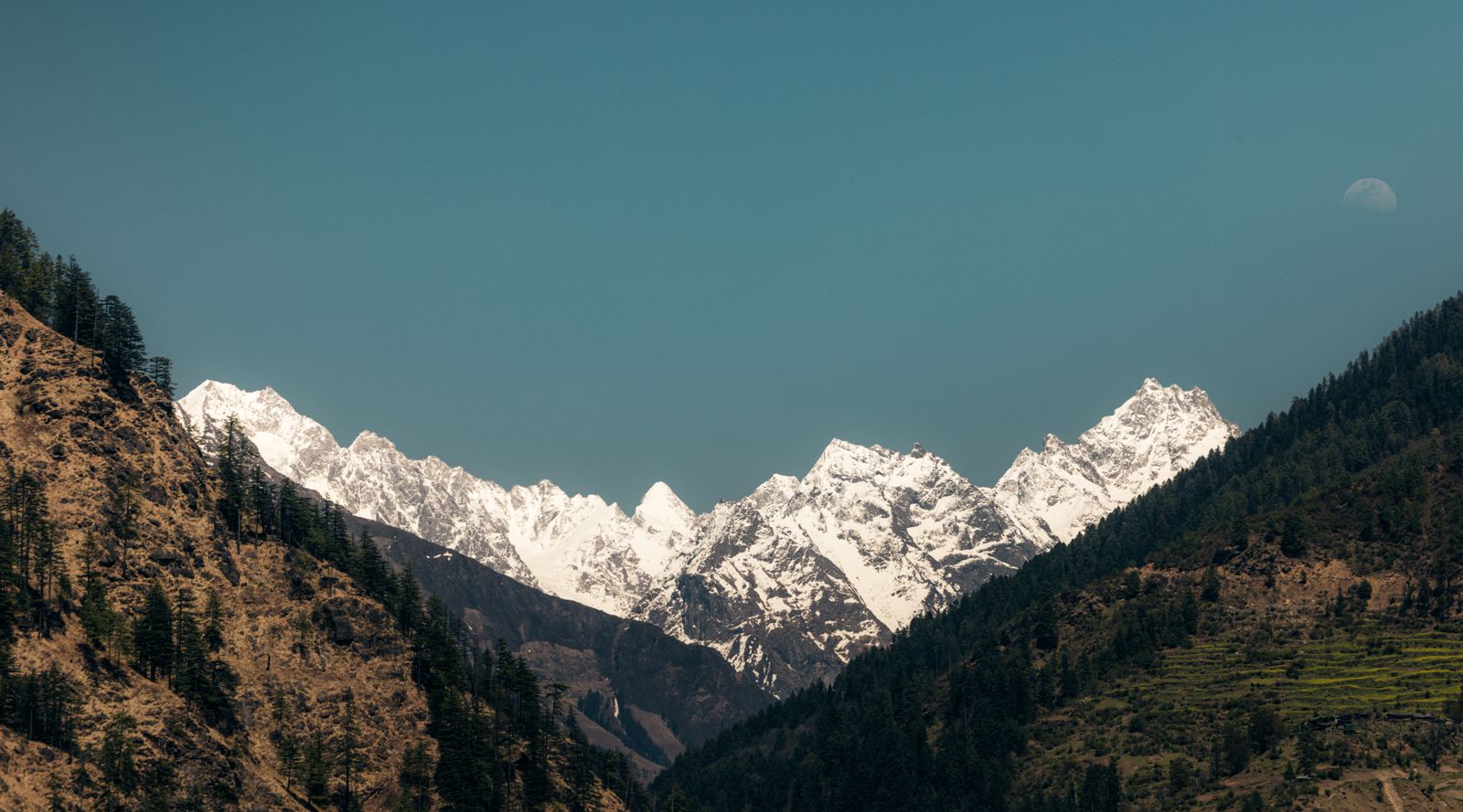 Trek
Kedarkantha Trek
Snow, forest camps and a 12,500 ft summit.
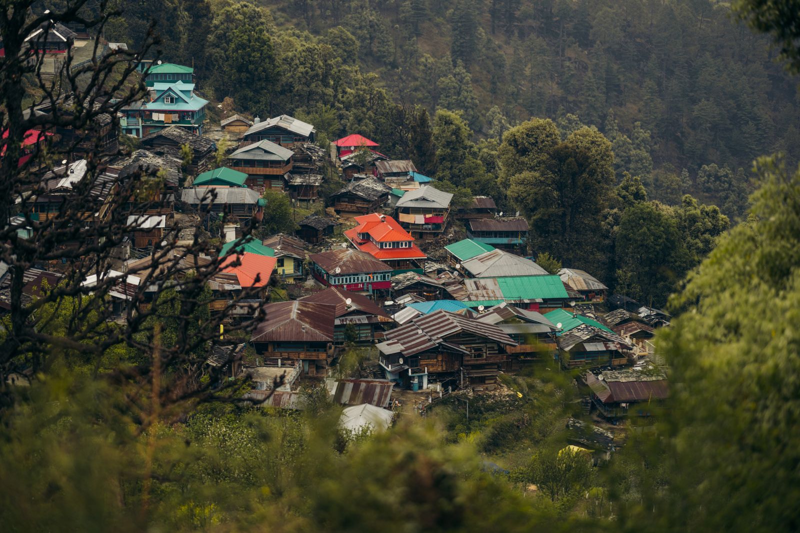 Trek
Har Ki Dun Trek
A valley trek through old villages below Swargarohini
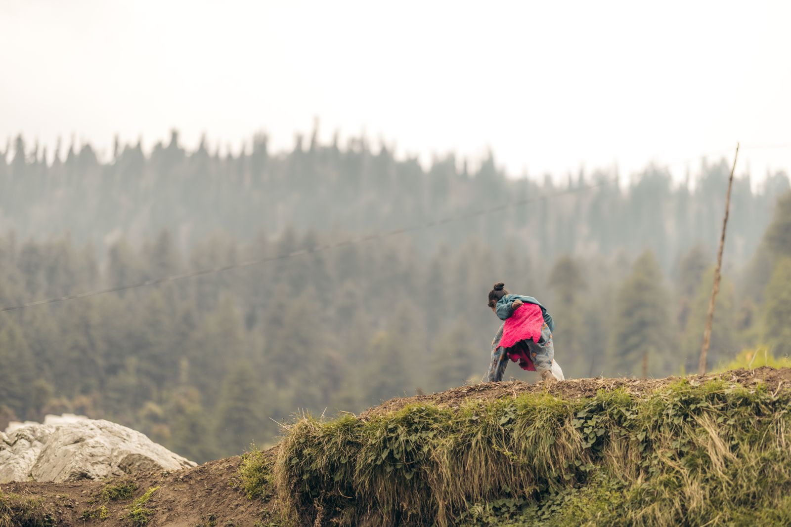 Trek
Phulara Ridge Trek
A day-long ridge walk above the Sankri valleys